Contribute Data
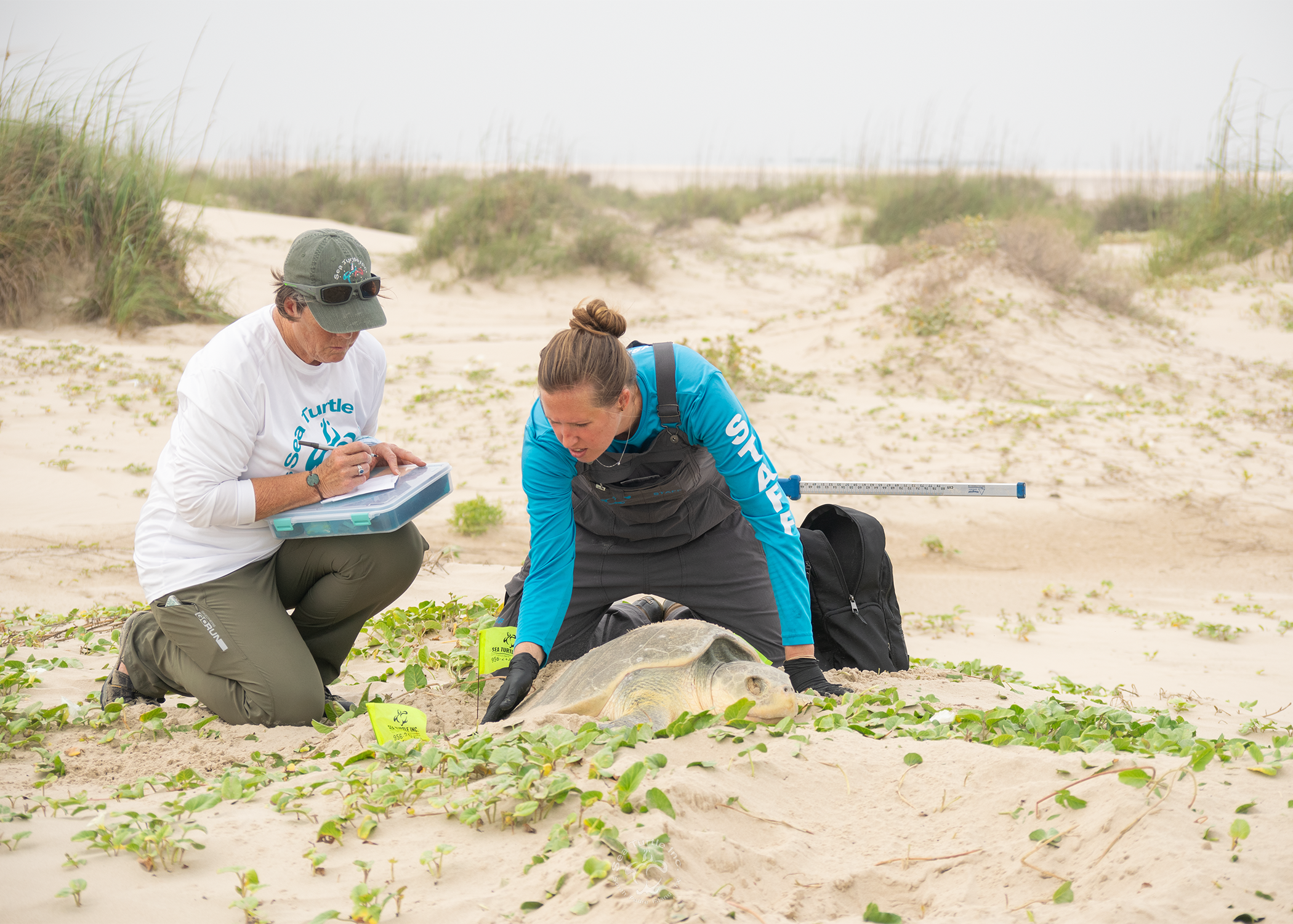
The lifeblood of the SWOT Program is the network of more than 550 people and projects that contribute sea turtle nesting and telemetry data to the SWOT database, the only comprehensive global database of sea turtle biogeography. Our aim is to build and maintain the premiere global monitoring system for sea turtle populations and species, and we welcome contributions of sea turtle data from people and projects worldwide.
Data compiled by SWOT are hosted on the OBIS-SEAMAP/SWOT website, maintained by the Marine Geospatial Ecology Lab at Duke University. The SWOT database hosts >6,000 nesting data records from >3,000 monitored sites globally for all sea turtle species, and satellite telemetry data from hundreds of tracked animals worldwide. All data are available for viewing under the OBIS-SEAMAP Terms of Use. Users can explore data by species, country/region, and count type and view/download related GIS layers on sea turtle distribution, RMUs, sites for genetic studies, and habitat suitability. In addition, SWOT data can be viewed along with other datasets within OBIS-SEAMAP, including survey observations, telemetry data, and oceanographic and marine region layers.
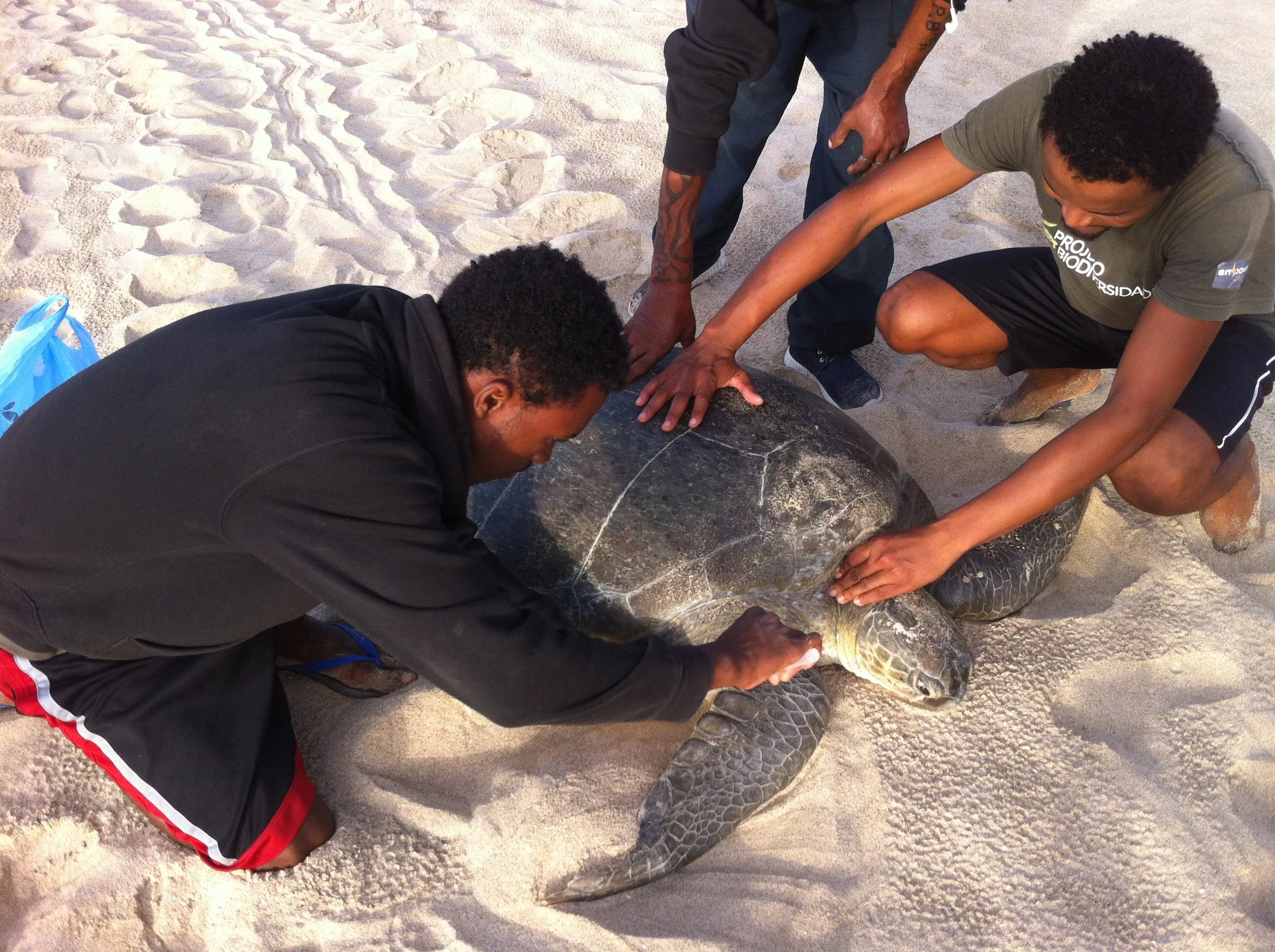
Field researchers tag a green turtle in Cabo Verde. © Projeto Biodiversidade
Want to Contribute? Here’s how.
Whether you have another year of nesting data or want to provide data from previous years, please:
Review the terms of use for data providers, and;
Send your data along using SWOT’s data submission form for nesting data (detailed instructions are contained within).
To contribute your satellite telemetry data to SWOT, please:
Email us directly to discuss how.
Or, if you are a SEATURTLE.ORG STAT user, you can simply check the box in your STAT account that allows data contribution to OBIS-SEAMAP (SWOT is part of OBIS-SEAMAP), and then send us an email to let us know that you want your data to be included in the SWOT database.
All SWOT documents—especially terms of reference for data providers—are available upon request to swotdata@gmail.com.
Long-Term Scientific Goals of SWOT
GLOBAL SEA TURTLE NESTING ABUNDANCE AND DISTRIBUTION
SWOT is working toward the long-term goal of making SWOT the premiere global monitoring system for sea turtle populations and species. To do this, we have developed minimum standards for nesting beach data contributed to SWOT that: 1) allow comparison across sites with different levels of monitoring effort, and 2) allow for estimation of population abundances and long-term population trends. SWOT brought together some of the sea turtle community’s leaders in data collection and statistical techniques and developed a one-of-a-kind statistical modeling program that estimates real numbers of nesting turtles from incomplete data sets. The results and products—including a user-friendly handbook and modeling software—are available here.
SWOT GLOBAL SEA TURTLE TRACKING INITIATIVE
In addition to SWOT’s scientific goals for nesting beach monitoring, SWOT is expanding its database through the Global Sea Turtle Tracking Initiative to identify important areas for sea turtles throughout the world’s oceans by aggregating available satellite telemetry data into a single, common database. We are collating satellite tracking data from all species and geographies to identify “Important Turtle Areas” at regional and global scales to guide spatial management of threats to sea turtles. This system will augment the global nesting database to provide the most comprehensive perspective of sea turtle biogeography available, and will allow user-driven updates and improvements to maintain currency.
– Learn More –

Minimum Data Standards

Online Map & Database
